Book Tickets Online
About
Swaines Green Wildlife Site
Numerous entrances along Coronation Hill and via Bolt Cellar Lane.
More information and latest news here.
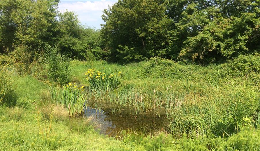
Swaines Green is a local wildlife site of 22 acres (5.6 hectares) on the western side of Epping. It comprises mixed woodland, scrub and open meadow, providing habitat for a wealth of trees, plants, and wildlife. It is bordered by Coronation Hill to the south and the ancient bridle Way, Bolt Cellar Lane on its northern perimeter. It is very much a community asset and events are held on playing field including an annual May Fayre.
Swaines Green has developed from four former agricultural fields which have been left untouched since the early 1980s. Forties Field, Middle Lincoln’s Field and Lower Lincoln’s Field are owned and managed by the City of London (Conservators of Epping Forest), whilst Lovelock’s Meadow is owned by the Epping Town Council and managed by the Friends of Swaines Green and Epping Countrycare. It was designated a Local Wildlife Site by the Essex Naturalists Trust in 1998.
The history and creation of Swaines Green
It is believed that the land was put under the plough to produce food during the second world war. After the war its was used to keep pigs and then to produce turf for lawns. The land became disused and was bought, in part, by the Corporation of London to be added to the Epping Forest buffer lands and by the district council.
The four fields which make up Swaines Green date from approximately 1200 AD. The fields are small, by today’s standards, and are bounded on almost all sides by hedgerows. There is firm evidence that the field boundaries are the original Saxon/Norman demarcations created when the forest was first cleared, and the hedgerows have been dated back to pre-Tudor times. The oldest hedgerow is the one bordering Bolt Cellar Lane, which is estimated to be about 800 years old, and includes 19 species of tree along its length. Bolt Cellar Lane probably already existed when the fields were created. Its name seems strange, but in medieval times, a cellar was a dry storeroom, probably not below ground, and a bolt was a bundle, possibly of straw, wood or reeds. Each of the boundaries has a ditch or stream alongside the hedge. These streams cut across Bolt Cellar Lane and flow down the hill and into Cobbins Brook. It seems possible that when the forest was first cleared for farmland, there were trees left along these ditches that formed the basis of the hedgerow.
Unusual names
Swaines Green was so named in recognition of the time it was home to pigs. Bolt Cellar Lane is a very ancient track and its name is possibly medieval in origin. A cellar was a place to store goods (and not necessarily below ground level) and a bolt is a measurement of goods most commonly associated with rolled material like cloth and canvas today.


